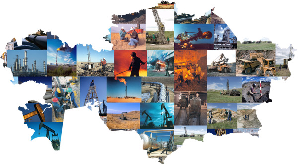
Geological Exploration

In the period between 1997 and 2007, as a result of state-run geological survey, the entire territory of the Republic of Kazakhstan was reflected in a set of geological maps, at the scale of 1:1000000, including the geological map of the RK, mineral resources map, tectonic map, abnormal magnetic field map fo the RK, gravimetrical map of the RK, hydrogeological map of the RK. Nearing completion are mineragenetic map of the RK and cosmogeological map of the RK. The maps listed form the basic framework for conducting medium-scale regional geological surveys and exploration for the purpose of locating new mineral deposits.
International cooperation led to a successful implementation of the project titled «Geology, geodynamics, minerogenics of transborder sedimentary basins and ore regions of Central Asia».
Over the entire period, Kazakhstan has been conducting medium-scale geophotographical operations at the scale of 1:2000000. To date, geological assessment of land at the scale of 1:2000000 has been completed for 75% of the territory applicable for this type of geological survey. These efforts are made in all regions of Kazakhstan, and are geared toward locating various estimated mineral resources, promising fields and sites.
As part of the execution of the order of the Government of the Republic of Kazakhstan, geological survey of military test sites has been completed, revealing new promising fields for possible extraction of gold, copper, silver, lead, zinc, molybdenum, nickel, iron, rare metals.
Over the recent years of geological exploration efforts in Kazakhstan, space remote sensing data have been widely utilized. Data from space allowed to undertake large-scale exploration of deposits of hydrocarbons and solid minerals. Processing and interpretation of space imagery, received at the Kazgeokosmos JSC station in the city of Atyrau, is conducted in the center for space data processing in the city of Almaty.
Breakthroughs in science and technology are widely used in geological exploration in Kazakhstan. Applied research in geology is undertaken in a number of principal areas. Over the last 10 years, reserves of most important kinds of mineral resources have been estimated, and geological exploration efforts have received information and methodology support. Among the documents drafted is guidelines for organizing and conducting additional geological survey at the scale of 1:200000 in the Republic of Kazakhstan, guidlines for organizing and undertaking deep geological mapping at the scale of 1:200000, methodological guidelines for geological and minerogenic mapping at the scale of 1:200000, methodological recommendations for securing GDP-200 (graviexploration, magnetic exploration, geochemical methods, testing) and a number of other regulatory documents. Almanacs have been released, describing the major mineral resources of Kazakhstan.
Kazakhstan conducts technical development of drilling equipment, machines, wall shaft telemetric assessment equipment. Development and field testing completed for a drilling machine for well drilling in difficult-to-reach mountainous areas and swamps. For geological survey and exploratory operations, newest geochemical research methods have been widely employed: panning-geochemical method — a geochemical method based on the study of moving forms of chemical elements, allowing to have a wide estimation of deeply lodged deposits of solid minerals.
Significant efforts are made to study the deep subsoil structures of individual regions of the country. Trends identified using geological, geophysical, geochemical data, allowed to enhance the resource potential of the Kokshetau region, Kalbanarym structural/metallogenic zone, North-Eastern Balkhash basin. New research in stratigraphy allows to develop uniform stratigraphic legends for the entire territory of Kazakhstan.
Geological service of Kazakhstan initiated the efforts toward compiling a set of maps at the scale of 1:2500000. International projects involve 11 countries of Central Asia and Middle East. Republic of Kazakhstan acts as the project coordinator. Almanac contains 73 maps, reflecting the geological structure of the Eurasian region.


